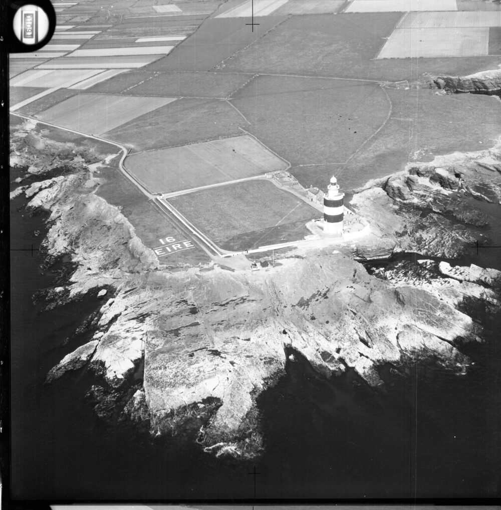
The Military Archives is delighted to be working in partnership with the National Collection of Aerial Photography on the preservation and digitisation of our extensive collection of aerial photography. Through this joint venture, access to an estimated 150,000 pieces of aerial photography created for military intelligence purposes, of places throughout Ireland during the second half of the 20th century, will be transformed and made online accessible via the ncap.org platform.
These unique records from the Military Archives include aerial photography created during Operation SANDSTONE, a top-secret project to survey the coastline and beaches of Ireland, that would have been vital for an American counter-invasion from the sea if the Russians ever invaded during the Cold War. This imagery and aerial photography created by the Irish Air Corps provide a unique aerial perspective on Ireland's historical evolution and development.
The National Collection of Aerial Photography holds one of the most significant collections of aerial photography in the world. They are custodians of over 30 million images, providing a detailed and unique perspective on key moments in world history. We are very excited to see this collaboration underway and looking forward to announcing its completion in the coming months.


